
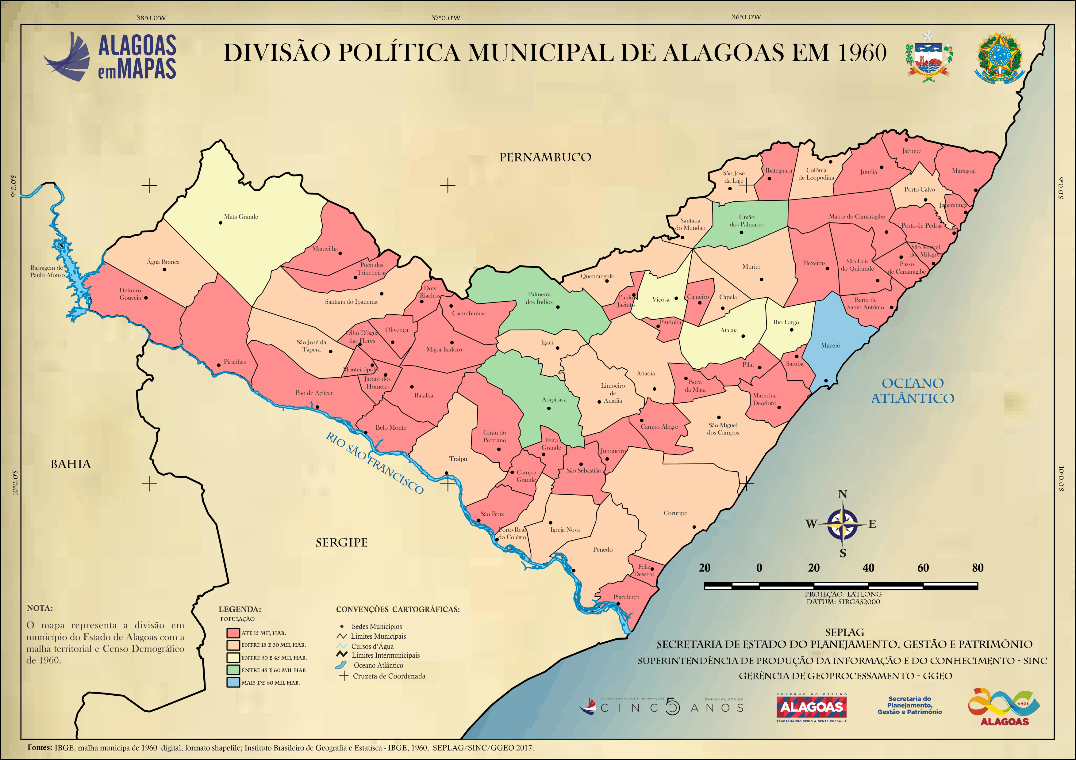
Divisão Política Municipal de Alagoas em 1960
O mapa representa a divisão em município do Estado de Alagoas com a malha territorial e Censo Demográfico de 1960.
Informazioni supplementari
| Campo | Valore |
|---|---|
| Data last updated | Dicembre 9, 2020 |
| Metadata last updated | Dicembre 9, 2020 |
| Creato | Dicembre 9, 2020 |
| Formato | PNG |
| Licenza | Creative Commons Attribution |
| Has views | True |
| Id | 909c2142-d8d8-4bb7-8224-eee6c52eae09 |
| Mimetype | image/png |
| On same domain | True |
| Package id | 092282cd-7756-4341-ac1d-d115b947f447 |
| Position | 2 |
| Revision id | 02c7975b-5260-46d6-ae51-a18e90804244 |
| Size | 857 KiB |
| State | active |
| Url type | upload |